
Hydrologists are concerned with one of the most valued resources of all: water. It is important for agriculture and drinking supplies, and it is also necessary for environmental protection. To do all this, finding out where water exists and evaluating sources is of utmost importance. But how do hydrologists manage to identify underground sources of water, much less find sources of water? The answer involves blending scientific techniques, sophisticated technology, and insightful knowledge of the water cycle that governs our planet. Let us now take a closer look at how it is done.
The Hydrologic Cycle
Hydrologists must first understand the hydrologic cycle in order to determine where and how to look for water. It characterizes evaporation, condensation, precipitation, infiltration, and runoff that occurs within an environment. Through an understanding of these processes, the hydrologist can be able to predict where, both above and below the surface, water is most likely to accumulate.
1. Field Surveys And Observation
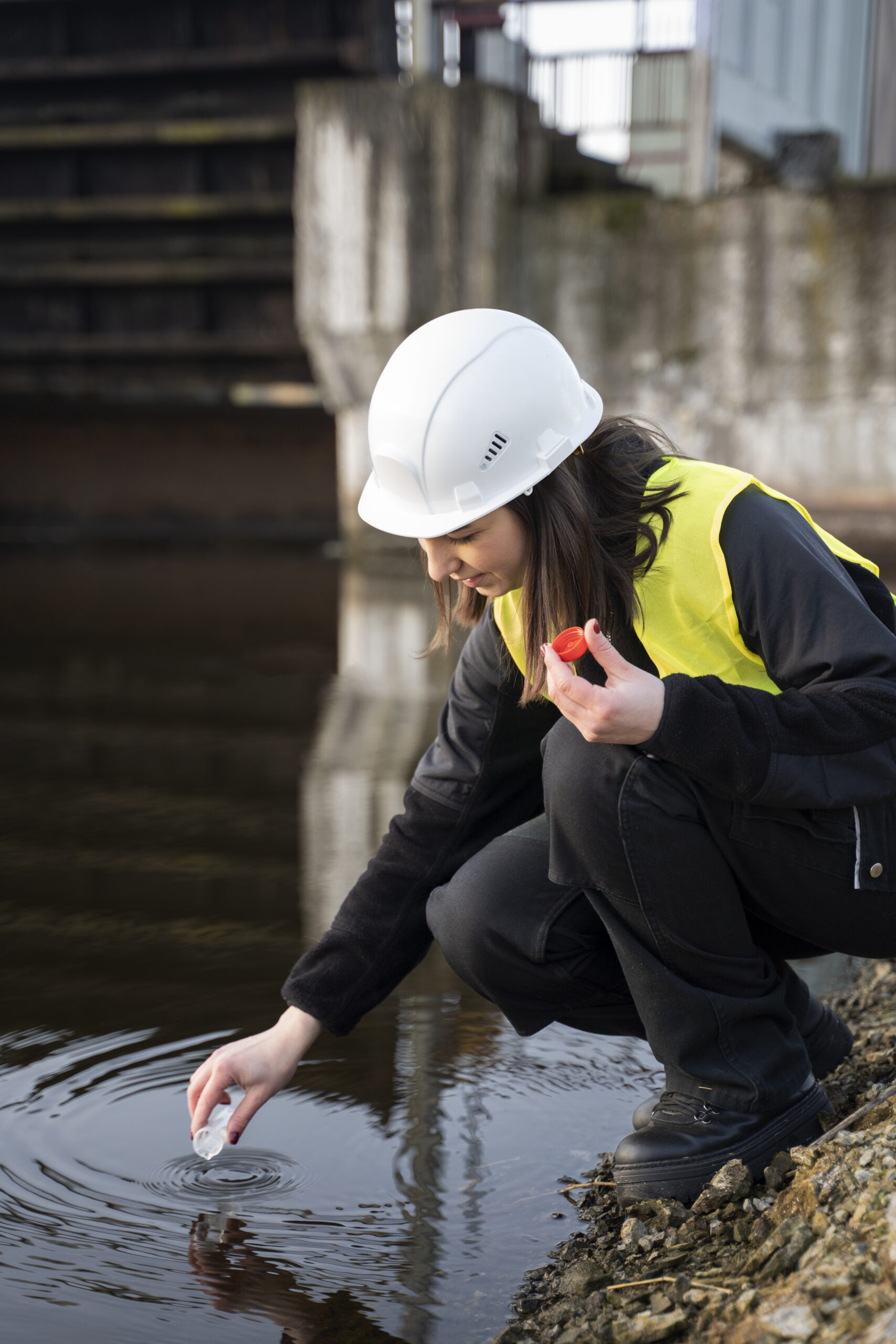
The first step hydrologists take in the search for water is usually to conduct field surveys. They first observe the general lay of the land for any natural indication of water. These may include vegetation patterns, soil moisture, and surface water features like streams, lakes, or ponds. Certain vegetation, such as willows and cottonwoods, has a preference for a wet environment to grow; therefore, their existence may show that water could be located underground.
Topography is another key determining factor. Hydrologists analyze the gradient, altitude, and even the geology of the area to be able to determine the points where water is likely to collect. Low-lying grounds, valleys, and depressions provide natural depositional basins for water and would, therefore, be central points of interest for follow-up studies.
2. Geological Mapping And Analysis
Geology is, thus, a key part of the search for water since hydrologists have to get to study the geology of an area: the type of rocks and the soil, since different materials have greater and lesser capacity to store and transmit water. For example, such rocks as sandstones may store enormous quantities of water in their pores, so they often make fine aquifers. On the other hand, such impermeable rocks as granite will be much less likely to contain significant supplies of water.
Hydrologists can utilize geological maps in order to ascertain whether a certain area has the capability to contain an aquifer. An appendage that holds copious amounts of water is stored in confined or bounded rock or sediment underground. This map, however, is based on previous studies, sampling, and drilling records of rocks. Such information gives them an idea of the geological structure, therefore pinpointing where the water is likely to be located.
3. Remote Sensing Technology
In the past years, remote-sensing technology has been an important tool to hydrologists. It is a technique for obtaining information about the Earth’s surface and subsurface through the use of images from satellites, aerial photos, and drones. Through remote sensing, hydrologists are able to quickly cover large areas in order to identify potential water sources without necessarily including extensive fieldwork.
One common technique of remote sensing is with the use of radar and infrared imaging for the detection of moisture content of the soil and rock layers. In such images, detailed underground water reserves are viewed, thus helping a hydrologist identify where drilling could be successful. Besides, thermal imaging shows temperature variation at the surface, which could be an indication of water below.
4. Geophysical Methods
The next in line are the geophysical methods applied by hydrologists in the search for water. They involve measuring the physical properties of the Earth to deduce the presence of water. Some common geophysical methods include:
Electrical Resistivity: This method measures the resistance of the ground to the flow of electrical currents. Because water conducts electricity better than dry soil or rock, low values of resistivity may well represent zones that are water bearing. Hydrologists place electrodes in the ground and pass a current between them to create a resistivity profile, which helps identify water-bearing formations.
Seismic Surveys: This technique is used to pass shock waves through the ground in order to measure how these waves pass through various materials. Water-filled rocks and sediments affect the speed and path of those waves, forming an image through which the underground structures of water are mapped.
Magnetic And Gravity Surveys: These techniques allow the mapping of variations in the Earth’s magnetic field and gravitational pull, both of which result from different rock types. These techniques can be employed to identify potential water sources, as the water-rich aquifers will have different signatures than dry rock.
5. Hydrogeological Modeling
After the information has been gathered, in particular through field surveys, remote sensing, and geophysical methods, hydrologists simulate how water moves in the environment through hydrogeological models. They are mathematical models of great complexity that try to reflect the hydrological cycle and geological and climatic conditions. In this way, they can predict where water is most likely to be in the environment and what it will do in terms of behaviour, by getting them such data.
These hydrogeological models may ultimately be utilized for water resource sustainability testing. They allow concluding on how much water can be sourced from an aquifer, how quickly it may replenish, and finally how it reacts to both climate change and human practices. Such information is indispensable during the administration of water resources.
6. Drilling And Sampling
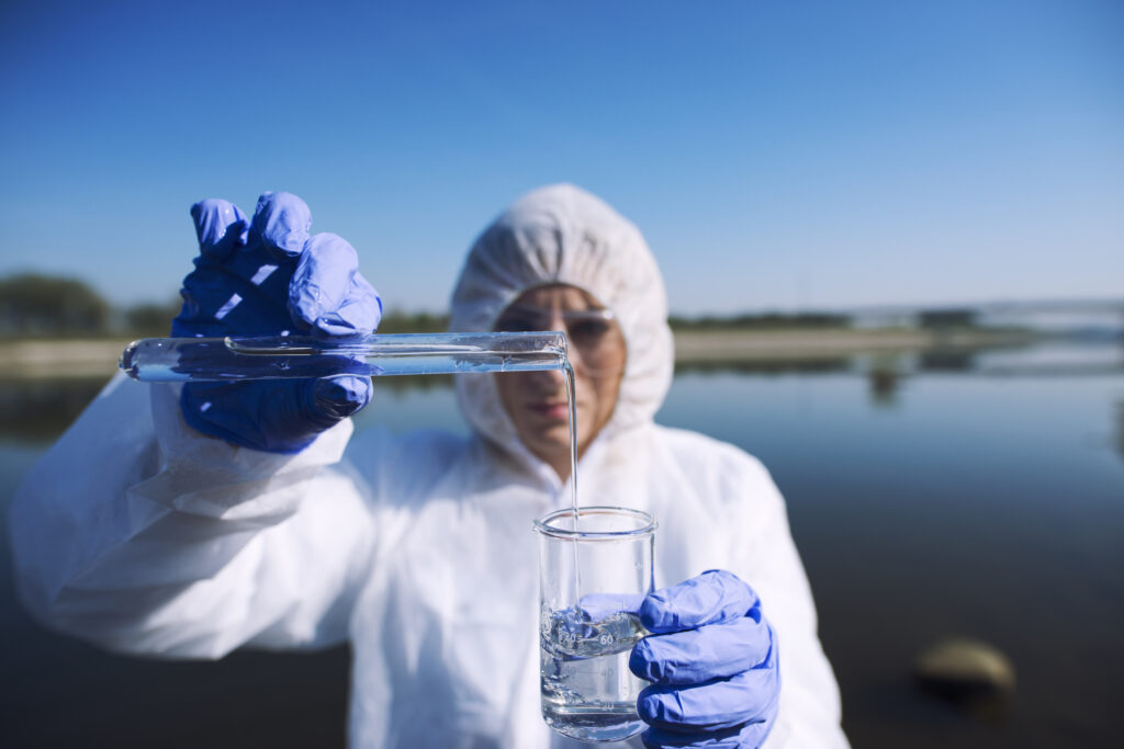
Once a potential good location is pinpointed, the final procedure is the drilling of test wells and taking samples. It enables hydrologists to have direct access to underground water and in assessing the quality, quantity, and depth. They have analyzed samples for contaminants, salinity, and other factors that determine whether the water is appropriate for its intentional end use.
In addition to this, test wells also provide crucial information on groundwater pressure and flow, which help confirm the appropriateness of earlier conclusions of findings within the exploratory process. If the results from the test are positive, these test wells can be further developed into production wells to withdraw water for drinking, irrigation, or industrial purposes.
Hydrologists supplement scientific expertise with advanced technologies and substantial fieldwork in the quest for sources of water. They work to offer the needed water supply for communities, industries, and ecosystems to support healthy livelihoods.